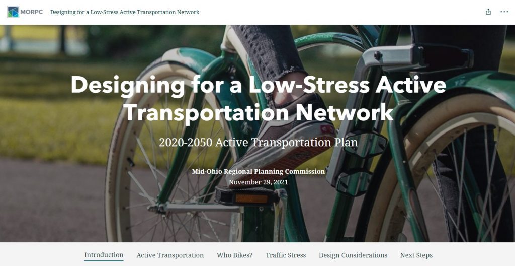
2020-2050 Active Transportation Plan (ATP)
The ATP was updated under the guidance of a 25-member steering committee and the Active Transportation Committee to align with and support the 2021 MORPC Complete Streets policy. The ATP offers design guidance and resources to ensure all users, regardless of mode of travel, have a safer and more comfortable way to reach their destination.

ATP Story Map
Unlike traditional plans, the ATP is a collection of web-based tools and resources. The story map provides all of the important background information and details on how to use the ATP. It includes additional information for practitioners to assist with decision-making for roadway design projects.
ATP Vision & Goals
Vision Statement
Central Ohio will implement and maintain an equitable network of active transportation infrastructure that ensures the regional transportation system supports and accommodates mobility for all users, inclusive of all ages and abilities, while advancing the regional priorities established in the Metropolitan Transportation Plan.
Goals

Tools & Resources
The ATP takes a closer look at crash data and transportation trends, which reflect substantial potential for active transportation in Central Ohio, and explores the current environment for walking and bicycling in the Metropolitan Planning Organization area. The Bicycle Level of Traffic Stress analysis created for the ATP utilizes available data to calculate the level of traffic stress on roadways with a Federal Functional Classification of arterial or collector. This analysis provides Central Ohio communities with a deeper understanding of the factors that contribute to traffic stress for bicyclists and is an important step in designing roadways to be more accommodating of all users.”
The ATP provides extensive data analysis to assist local governments and practitioners with understanding how a roadway’s level of traffic stress may impact its use. The plan includes links to best-practice guidance from the Federal Highway Administration for appropriate roadway design enhancements, balancing the needs of roadway users and the character and context of the roadway.
Active Transportation Design Guidance:
- FHWA Bikeway Selection Guide available as a resource on the FHWA Ped/Bike Safety website
- FHWA Guide for Improving Pedestrian Safety at Uncontrolled Crossing Locations
- Urban Greenway Design Guide
The ATP action plan contains strategies to support the plan’s vision and guide its implementation. These actions provide encouragement and support as the region works toward its vision of a more complete, connected, low-stress, and equitable active transportation network.
2020-2050 Metropolitan Transportation Plan
The ATP advances the regional priorities of Central Ohio’s 2020-2050 Metropolitan Transportation Plan (MTP), which identifies priority transportation strategies and projects in our region. Specifically, the MTP includes strategies for implementing projects that include pedestrian, bicycle, and transit accommodations – or complete streets – on the region’s road network, as well as stand-alone bicycle and pedestrian facilities. The ATP is a resource for communities within the Metropolitan Planning Organization in advancing the strategies and developing local active transportation projects.
MORPC Complete Streets Policy
Complete Streets ensure all users, regardless of mode of travel, have a safer and more comfortable way to reach their destination. The first MORPC Complete Streets policy was adopted in 2010. In 2021, the policy was updated to align with current best practices. The ATP complements the 2021 Complete Streets policy by providing relevant roadway design guidance for projects receiving MORPC-attributable funding.
LinkUS Mobility Initiative
Active transportation is an important component of the LinkUS regional mobility initiative. LinkUS builds on previous regional studies including insight2050 and insight2050 Corridor Concepts with an equitable approach to multi-modal transportation as well as housing and job growth.
Other Regional Initiatives
The ATP is consistent with the goals and objectives of other regional initiatives including the Regional Sustainability Agenda, Central Ohio Transportation Safety Plan, and Central Ohio Greenways.

