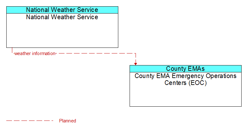
Interface: National Weather Service - County EMA Emergency Operations Centers (EOC)
Architecture Flow Definitions
weather information (Planned ) Applicable ITS Standards
Accumulated forecasted and current weather data (e.g., temperature, pressure, wind speed, wind direction, humidity, precipitation, visibility, light conditions, etc.).